Applications of remote sensing in disaster management
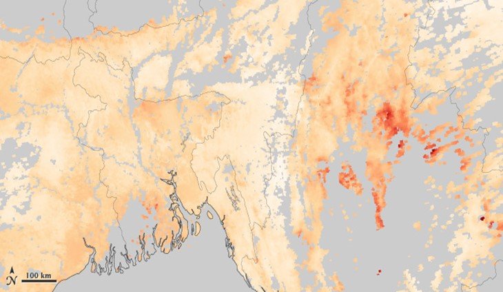
Remote sensing and GIS have become very useful techniques in disaster management. Disasters mostly make drastic environmental changes. That is why large amounts of spatial data are needed to asses…
0 Comments
January 7, 2020