Understanding how the earth functions and how mechanisms are interrelated is at times difficult. Geographic Information System plays an important role in the study of the earth and everything that is on its surface. The earth’s surface has a complex puzzle that is difficult even for geologists to understand, but through the application of GIS, they have been able to solve some of these puzzles. Geologists have used the power of Geographic Information System to find some of the solutions and technology on the earth’s surface and to integrate different geological data collected from the field. The utilization of the data helps the geologists in coming up with a more accurate interpretation and a new approach.
1. Exploration of oil
The acquisition of new gravity data was planned to extensively make use of the networks of roads in a particular area. Exploration of oil in any area requires geologists to know the gravity of the area. The Geographic Information System tools, which were used, were essential and valuable in determining, tracking and monitoring the gravity data acquisition and to ensure that the data, which has been acquired, were gotten from the correct stations.
2. Mapping
This is the main function of the Geographic Information System. Mapping provides data interpretation in a visual manner. GIS is responsible for the storage of data in databases and then it represents the data visually in a format that is mapped. In addition, a map is used as a way of communication of people from different professions. The creation of maps requires an individual to possess skills in cartography. Some of the examples of web-based Geographic Information Systems mapping solutions include google maps, yahoo and Bing maps among others.
3. Land Information Systems
Having complete information about land is essential for different geological purposes. GIS-based land acquisition management system helps with the provision of complete information about a particular piece of land. Furthermore, land acquisition management helps in the payment for private lands, using the owner details, tracking of all the possessions that the land has and identifying the resolutions of issues related to land acquisition in a timely manner.
4. Urban Planning
In geologists, the analysis of urban growth and looking at the direction of its expansion is one of the functions that is performed with Geographic Information Systems. Furthermore, GIS also helps in the identification of sites, which are considered suitable for the further development of urban areas. Identifying the sites, which are suitable for urban growth, requires many factors to be put into consideration. For instance, the land should be more accessible, should be vacant, have low usage value, more or less flat and should have a good supply of water. These are some of the factors, which will make a human settlement in those areas comfortable.
5. Surveying
Geologists incorporate surveying in their day-to-day activities because it helps them in measuring the location of objects, which are on the surface of the earth. A land survey involves the measurement of different angles between different points on the surface of the earth. The data, which is commonly used in this measurement, is known as the GNSS and is mostly used by governments and other regional organizations. The data provided is then incorporated into the Geographic Information Systems. Consequently, this aids in the estimation of a given area and the preparation of digital maps.
6. Earthquake Information System
An earthquake is one of the most frightening occurrences in the world. It is destructive in nature and can kill a large number of people whenever it occurs. Geologists find it important in having some knowledge about the occurrences of earthquakes and the trends that it follows. The application of GIS in this sector is important because it has a user interface system and a catalog for querying on earthquake. This is essential for geologists and seismologists because it increases their understanding of the behavioral patterns of earthquakes.
7. Detection of coal mines
The application of GIS technology is essential in the detection and the safe production of coal mines. An information management systems have been developed in coal mine production. In addition to that, the administrator and the management team can look into the safe production of the coal times. In addition to that, the information management system helps the management in making informed decisions. One of the common accidents that occur in coal mines is fires. Therefore, Geographic Information System tools are used in the assessment of impulsive combustion risk.
8. Coastal management
Highly productive ecosystems such as coral reefs are common in the coastal areas. Both micro and macro planning need to be done in the management of the coastal regions. Additionally, this can only be achieved by using Geographic Information Systems which helps in the generation of the data required. The baseline inventory for mapping and monitoring the coastal resources is created using GIS.
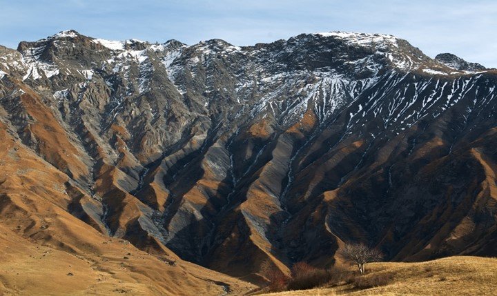
9. Geological mapping
Surveyors find an easy time coming up with three-dimensional maps representing any area with the help of detailed scaling. Additionally, the Geographic Information System is also an effective tool in this process. Consequently, the result, which is obtained, is then used in providing accurate measurements, which is essential in any field where a geological map will be needed. Minimal cost is incurred making geological mapping using GIS cost-effective, efficient and provides accurate data. Therefore, the process of studying how geological mapping is done becomes much easier.
10. Administration of Land
Land administration is another aspect where the application of Geographic Information System in geology is important. There are many functions of land administration, but all of the functions have been narrowed down to the creation of a digital database. The existence of these databases makes it possible to reusing land, which is suitable for the desired need. Furthermore, handling of utilities becomes much easier when these databases are put into use.
11. Changes in Land Use
Mining is the topmost function of the developing economy in any given country. Mining activities have a greater impact on the environment and it is important that these activities are monitored and controlled. Furthermore, mapping is also necessary because it helps geologists in understanding the extent of the harm that mining is causing to a specific area. A GIS helps with the provision of the data that is required to understand the impact that mining causes to the environment, and needs integration in order to arrive at a dangerous zone mapping.