Difference between GIS and LIDAR
Have you ever wondered how Google Maps knows where you are and where you need to go next? Basically, most people currently rely on geographic information systems in order to…
0 Comments
March 31, 2020
Have you ever wondered how Google Maps knows where you are and where you need to go next? Basically, most people currently rely on geographic information systems in order to…
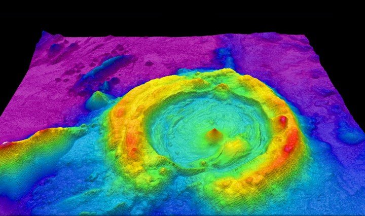
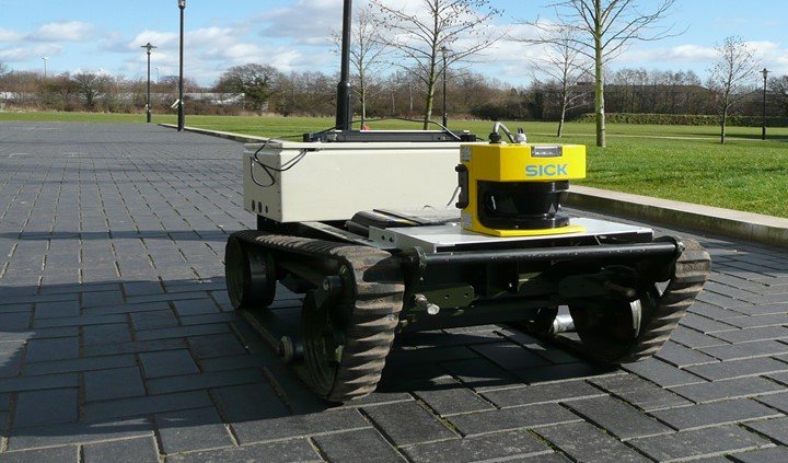
LIDAR means light detection and ranging. This technology applies the use of detection techniques to get the distance or the ranges of spaces. The ranging or measuring of distances involves…