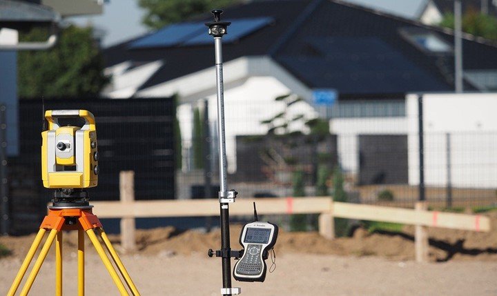
Know how GPS is applied in Surveying!
Back then, GPS was developed to equip the military. As time passed, it became accessible to civilians as well. In fact, many surveyors are currently taking advantage of GPS for…
0 Comments
April 14, 2020