Skip to content
GIS Sensing
  • GIS
  • Remote Sensing
  • Applications
  • GPS
  • Data
  • LIDAR
  • CAD
  • Cartography
  • Tools
    • City Maps & GIS Apps
    • GIS World Engine
    • GIS AR
    • Sustainability
    • Airports
    • Locations
Menu

What is the difference between DEM and DTM in GIS

  1. Home>
  2. What is the difference between DEM and DTM in GIS
The differences between DEM and DTM in GIS
GIS

The differences between DEM and DTM in GIS

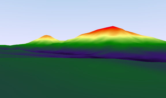
DEM is used as the acronym for the digital elevation model, on the other hand, DTM is the acronym used for the digital terrain model. In the scientific field, both…

0 Comments
June 28, 2022

Recent Posts

  • The differences between DEM and DTM in GIS
  • Difference between 2D and 3D GIS
  • 10 best GIS alternative careers
  • 10 Best GIS Book for Beginners
  • 10 Best GIS Company to Work in the USA

Recent Comments

  • Ruth on Applications of GIS in Environmental Management
  • Apeda Rondo on 10 Applications of GIS in Urban Planning
  • Georgien Betea on 10 Applications of GIS in Urban Planning
  • Alex Doll on Applications of remote sensing in environmental science
  • Musa Muhammad on Applications of GIS in Agriculture
Copyright@gissensing.com
Close Menu