Skip to content
GIS Sensing
  • GIS
  • Remote Sensing
  • Applications
  • GPS
  • Data
  • LIDAR
  • CAD
  • Cartography
  • Tools
    • City Maps & GIS Apps
    • GIS World Engine
    • GIS AR
    • Sustainability
    • Airports
    • Locations
Menu

How remote sensing is used in forestry

  1. Home>
  2. How remote sensing is used in forestry
The application of remote sensing in forestry
Applications / Remote Sensing

The application of remote sensing in forestry

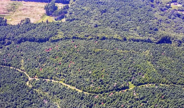
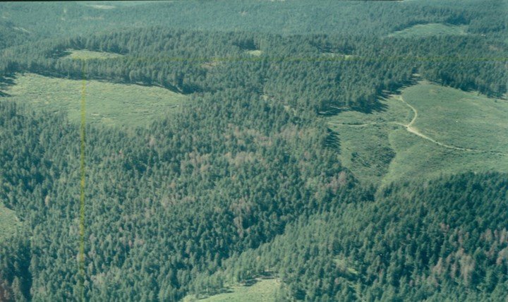
Remote sensing is used in many states by natural resource management of the forestry sector. Both private and state forestry agencies use remote sensing majorly for assessment, supporting analysis, and…

0 Comments
January 12, 2020
Applications of remote sensing in forestry
Remote Sensing

Applications of remote sensing in forestry

Remote sensing refers to the science of getting information about an object without coming into contact with the object. It is mostly done by sensing and recording emitted energy, analyzing,…

0 Comments
January 7, 2020

Recent Posts

  • The differences between DEM and DTM in GIS
  • Difference between 2D and 3D GIS
  • 10 best GIS alternative careers
  • 10 Best GIS Book for Beginners
  • 10 Best GIS Company to Work in the USA

Recent Comments

  • Ruth on Applications of GIS in Environmental Management
  • Apeda Rondo on 10 Applications of GIS in Urban Planning
  • Georgien Betea on 10 Applications of GIS in Urban Planning
  • Alex Doll on Applications of remote sensing in environmental science
  • Musa Muhammad on Applications of GIS in Agriculture
Copyright@gissensing.com
Close Menu