Skip to content
GIS Sensing
  • GIS
  • Remote Sensing
  • Applications
  • GPS
  • Data
  • LIDAR
  • CAD
  • Cartography
  • Tools
    • City Maps & GIS Apps
    • GIS World Engine
    • GIS AR
    • Sustainability
    • Airports
    • Locations
Menu

How remote sensing is used in mineral exploration

  1. Home>
  2. How remote sensing is used in mineral exploration
The Application of Remote Sensing in Mineral Exploration
Uncategorized

The Application of Remote Sensing in Mineral Exploration

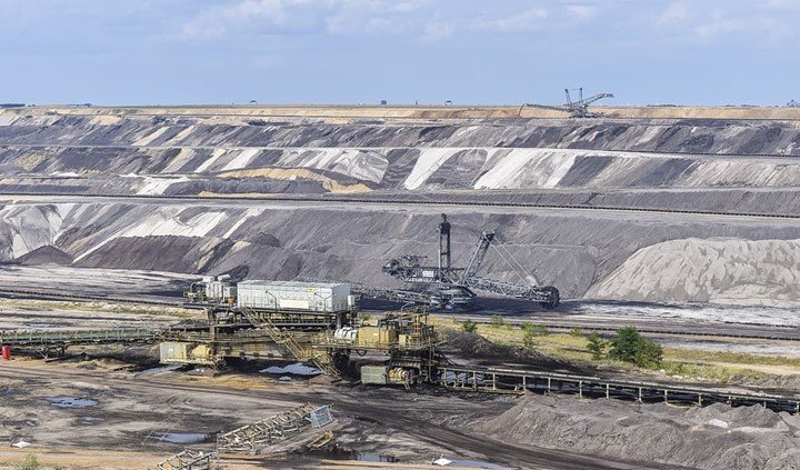
The data gathered from images through radioactive processes is a brilliant technology, this is called remote sensing. Remote sensing does not need direct contact with the object in order to…

1 Comment
January 30, 2020

Recent Posts

  • The differences between DEM and DTM in GIS
  • Difference between 2D and 3D GIS
  • 10 best GIS alternative careers
  • 10 Best GIS Book for Beginners
  • 10 Best GIS Company to Work in the USA

Recent Comments

  • Ruth on Applications of GIS in Environmental Management
  • Apeda Rondo on 10 Applications of GIS in Urban Planning
  • Georgien Betea on 10 Applications of GIS in Urban Planning
  • Alex Doll on Applications of remote sensing in environmental science
  • Musa Muhammad on Applications of GIS in Agriculture
Copyright@gissensing.com
Close Menu