Geographic Information System or GIS for short is a computer system that is used for the purpose of being able to interpret and analyze geographical data. This is done by recording data, storing it, manipulating it and analyzing it to display a multitude of complex results in different ways. It is most commonly concerned with location-based information about different positions on the surface of the planet (aspects such as latitude, longitude, and altitude). GIS makes use of both hard and software to be able to do its job, both of which are equally important in conducting a geographical analysis.
What is GIS hardware?
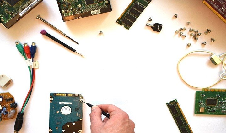
Hardware is simply the physical devices and instruments that are needed to run and display software results. This includes both computer devices and server components. Certain basic hardware components that are used in GIS are: graphics card, printer, hard drive, motherboard, processor – which almost every GIS will make use of. Advanced geographical information systems may also make use of scanners, video cards, transparency adapters and so on.
What are some of the main components of GIS hardware?
Motherboard
The motherboard is the central piece of hardware in any computer system, including GIS. A typical motherboard will look like a standard circuit board with several connectors attached. The motherboard is where several other devices are hooked onto the system.
Hard drive
A piece of equipment that is used for storage.
Processor
The main CPU component of hardware.
Printer
A peripheral device that is used to output images and text in physical, graphical form.
Other basic components of the GIS hardware include the monitor, the external disk, and the RAM (Random Access Memory) and ROM (Read Only Memory). GIS hardware is not extremely specialized and is similar to what the hardware of what many general-purpose computers looks like.
What is GIS software?
Meanwhile, GIS software is the actual application or program that is being run on the hardware to perform geographical analysis. The GIS software provides the tools that are necessary to perform geographic analysis. GIS software includes a database management system that is used to process and simply large chunks of data that are too extensive to check and edit manually. The database tools allow querying, editing and altering of data with the use of scripts that take only a few seconds to execute a command across a large amount of data.
The relational database management system or RDMS for short is used to store, insert and retrieve data for processing. Query tools present in GIS software allow the editing of data conveniently so that results can be displayed clearly with a focus on relevant data sections. GIS software is typically used to handle two types of data:
- Raster data: This is a type of data structure that is based on the tessellation of the 2D plane into cells.
- Vector data: A data structure that is mathematically discrete in nature, which stores data in the graphical x and y format such as line, points, and areas.