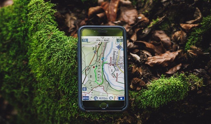
GPS is an acronym which stands for Global Positioning System. The application of GPS has progressively advanced in its application across several industries. However, an important area where its use is important is in agriculture and precision farming. That, in essence, is the reason for the topic “Application of GPS in Agriculture”
In this article, we shall be exploring the most crucial areas in which the use of GPS has changed the ways Agric practitioners engage in their business.
Firstly, let us consider the benefits of applying GPS in agricultural practices;
- It enhances accurate data collection, accurate soil sampling, and analysis of data
- Rapid ground coverage is promoted, précised and accurate navigation of farm area
- The use of GPS will promote working through harsh environmental conditions like dust, rain, fog, and darkness which promotes productivity.
- Spraying efficiency is promoted, so, under-spraying or over-spraying is eliminated.
Areas of Applying GPS in Agriculture
Easy location of weed: The use of GPS in the combination of linear sampling procedures can be employed to find out patches of weeds on a large expanse of land. Besides, weeds usually inhibit the performance and yield of the crop over a given period.
1. Ease of soil sampling: The use of GPS gives the needed information to help check different soil samples to determine which type of soil is best suitable for a given crop type. A sampling of soil for agricultural purposes helps profile soils to know the ones viable and the ones that are not.
2. Harvesting season: Using the GPS will help know the farm area that is ready to be harvested and the process it would take. Also, its use will give an estimate of the harvested area and the projected returns from the area.
3. Precision in planting: Employing GPS when planning the planting of a particular type of crop is essential as it gives information about the crop spacing and depth the seed should go to get the maximum yield. Every seed has a specific depth and spacing on a soil type.
4. Determines the planting ratio: The GPS helps the farmer know the ratio at which seeds can be planted. Some seeds can be planted together with others while others must be given specific spaces. Therefore, the use of GPS determines the planting ratio of crops.
5. Farm layout: The role of GPS in arranging the layout of the farm cannot be overemphasized. The GPS gives a general overview of the planting area and helps to know the type of crop to be planted in what area on the farmland based on several factors like crop characteristics and soil texture and characteristics.
6. Controls farm environment: The use of pesticides or insecticide can be controlled by the use of GPS. It gives the right quantity to be used based on the capacity of each square meter, and this minimizes the chances of runoff and enhances soil absorption of all the pesticide and herbicides.
7. Machinery citing: With the GPS, it is much easier to cite farm machinery on a large expanse of land. The farmer doesn’t need to be present to cite farm machinery especially when the number is high. With the GPS in place, farm equipment can be pinpointed without necessarily present where it is situated.
8. Map soil qualities: GPS can be used to enumerate the properties of a particular soil type to know its suitability and variability for a particular crop. It helps the farmer to appropriately segment the farm area, by knowing what type of crop is best suitable for a particular soil on the farm thereby bringing about higher yield.
9. Mapping of rivers: With GPS, having to know all the rivers in a particular area is made easier. The profile of that locality in terms of the flow of water is known by the help of the GPS. So, the farmers can know water availability in that locality, therefore, knowing the crop type that will thrive in that locality.
10. Detection of waterlogged and swampy areas: The GPS can be employed to detect waterlogged and swampy spots that may not be favorable for some crop types. With this information, the farmer can know the crops that are suitable for that area and the types of crop that are not suitable.
11. Irregular lands mapping: The use of the GPS can help to give details of where the land in the locality is not regular, presence of contours. knowing that some crop types will not do well on irregular lands while some others will do well, so, prior knowledge will the nature of the land will go a long way in knowing the crop types ahead.
12. Detection of irrigated crops: With the GPS, areas where crops have been irrigated and not irrigated can be easily identified given rise to you building a profile between crops irrigated and those not irrigated. Therefore, this makes the farmer do a comparative assessment and taken an informed decision.
13. Mapping of farmworkers: GPS assists the farmer to measure the productivity of farmworkers. How? By making available the number of personnel working at a particular time of the day. So, GPS saves costs for the farmer and increases farm productivity.
14. Area segmentation for planting based on different characteristics: With the GPS, areas can be adequately classified for planting based on different qualities. Some of these qualities are the topography and the type of soil. The suitable areas are developed while the areas not fit for planting are discarded.
15. Climate mapping: The GPS can be used in determining the climatic conditions which will affect the crop types. The farmer will know the type of crop that will survive and those that will not survive.
Conclusions
It will be right to say that employing the use of GPS technology has several advantages which can make the agricultural processes run seamlessly and with a higher yield and productivity. So, go ahead and implement the GPS and it will shock you how much you can achieve.