Remote sensing is basically a means of being able to obtain geographic information about a particular location without needing to be physically present in that location at the time of data inquiry. It makes uses of technological devices such as drones with LIDAR abilities (laser technology) for location surveillance and data acquisition. It is similar to GPS in the sense that it is used to collect data. Both GPS and remote sensing are similar in that they are used to collect data which is later processed by GIS software, however, the key difference lies in how this data is obtained.
1. For GPS the individual needs to be in the location for the satellite to be able to locate the individual position, whereas for remote sensing the same data can be obtained from far away.
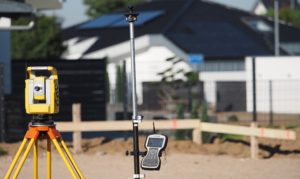
2. Remote sensing makes use of sensors onboard such as aircraft and balloons to eliminate the need of being present in the location for data collection. It may even use aerial cameras or satellites for this purpose for imagery. These sensors are able to serve as physical devices that retrieve and store details about the physical environment. It is simply a technique of data acquisition via remote sensing devices.
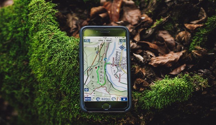
3. It is understood that GPS is more concerned with finding the exact position of an individual and keep a track of moving individuals.
4. Remote sensing is different from GPS because GPS makes use of satellites to transmit and receive information about an object or an individual in a particular area. The antenna for GPS is ground-based only, as is the receiver. The 24 satellites simply serve to establish a link between different location points. It is different from remote sensing because the satellite and receiver are only able to communicate with the device (for example a user’s mobile phone) given that they are physically present in that area. If an individual and their tracking mobile phone device are both in separate locations, GPS will pick up the location details of the mobile phone device. This is not a requirement for remote sensing which eliminates this hassle by use of sensors.
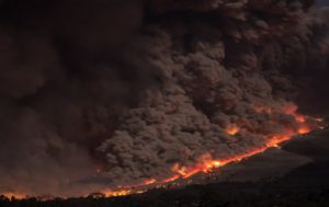
5. Air-borne and space-borne remote sensing are used for mapping widespread forest fires, recording physical environmental details such as cloud data for weather forecasting, tracking the expansion of a city into a forest to assess urbanization, discovering physical landscape features about an environment such as oceanic details of rugged topography.
6. Meanwhile, GPS is more civilian-use oriented (navigation, location finding) and less science and research-based compared to remote sensing.