GIS and remote sensing techniques have become indispensable and potential tools for solving problems in civil engineering. Data from remote sensing mostly correlate spatial data to their attributes making them useful in this field. Different themes such as geology, terrain, drainage, and hydrology can be extracted by the use of remote sensing. Integrating the above themes helps to solve civil engineering problems faster. Places, where remote sensing in technology is mostly used, include sanitation, urban growth, new road alignment, and irrigation project design. GIS and remote sensing data are mostly used to develop models by integrating socio-economic, demographic and information on natural resources.
Applications of remote sensing in civil engineering
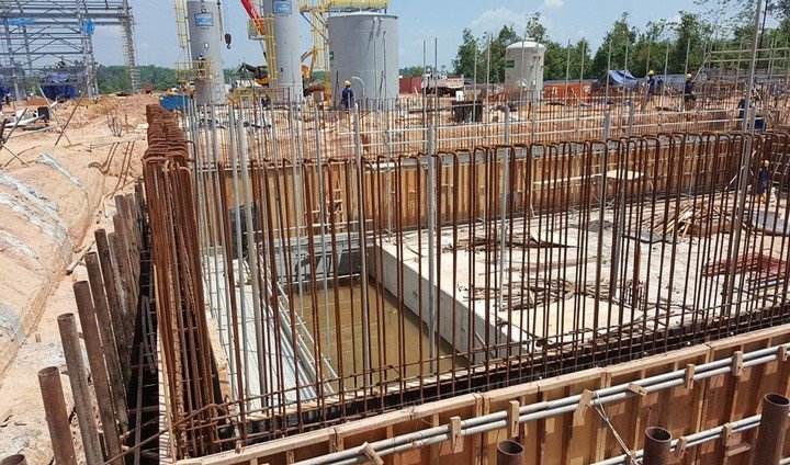
1. Infrastructure management
Remote sensing data is very important when it comes to infrastructure management. It helps you make decisions on how to upgrade, build or arrange your work. Constructing with proper management gives better results compared to constructing without any leads. Furthermore, remote sensing gives you a clear picture of what your project will look like. It makes sure that you understand your needs, Mitigate environmental impacts, and also to minimize costs and problems. All the procedures improve when you use GIS as the primary system for data management and visualization. You can even use them when you have less time to modernize your processes by mapping and visualization
2. Critical infrastructure protection
The safety and security of the buildings are both the responsibilities of the engineers. With remote sensing, securing infrastructure has become an easy task. It helps to identify weaknesses in any project to make changes on time. Furthermore, it offers tools used for combining data from elevation and evacuation routes to inspect structural specifications and results. The information is mostly saved in a geodatabase that easily displays information on a web-based map in real-time
3. Site analysis
GIS quickly incorporates and analyzes various types of information and images for site analysis. It presents accurate results that civil engineers use to interact and connect with clients easily via a simple map. The base map includes environmental protection areas, aerial photos, and topographic maps. Besides civil engineers use remote sensing techniques to predict future essentials.
4. Reduces cost of management
GIS and remote sensing technology help in reducing the cost of management. Engineers that make use of remote sensing and GIS no longer need expensive devices such as printers. Besides, they don’t even need to spend a lot of time using technical pens and papers. Before a lot of time and resources were consumed by doing such activities. However, today they only need to point a location and all the material that they need is listed. That means that there are improved communications which makes management easy and less costly.
5. Provides detailed geographic information
The firm that developed GIS, ESRI assures you that you can get information about any location. Besides, it provides other important information such as the date and access logs. Furthermore, GIS helps in examining and analyzing information hence making construction easier for civil engineers.
6. Town planning
Towns are emerging in almost every corner of the world. Proper planning helps in having a clean and accessible town. Remote sensing and GIS plays a very important role in ensuring that it is achieved. GIS is responsible for positioning resources in proper locations. Remote sensing, on the other hand, helps to track things such as power lines and drainage.
7. Urban development

Almost every country is facing rampant urbanization causing problems such as sanitation and housing. Other problems caused by urbanization include disposal of effluents, water supply, and environmental pollution. However, using the right remote sensing techniques civil engineers can make proper urban developments.
8. Water resources engineering
Remote sensing and GIS techniques have proved to be impactful when it comes to water resources engineering. Constructing dams or other reservoirs requires a lot of data to enable proper sharing. Furthermore, it improves flow controls. Civil engineers can construct infrastructures that enable people to access water resources.
9. Least cost highway alignment
When aligning highways civil engineers use remote sensing to spot the cheapest route. Without remote sensing, road construction would be a very expensive task. For example, satellite data can be used to the spotless hilly route which is easy to construct a road or rail. Furthermore, satellite images provide accurate information hence planning becomes easy.
10. Terrain mapping and analysis
Terrain mapping and analysis is very critical especially when it comes to civil engineering. Terrain mapping helps civil engineers to construct quality roads. Furthermore, it helps them to avoid dangerous areas or spot the best terrains. Without remote sensing techniques, road and rail construction can be a very difficult task.
11. Landslide prediction and analysis
Civil engineers can be able to analyze landslides or other natural disasters using remote sensing techniques. That enables them to build structures such as bridges, roads, and rails in safe places. Landslides can cause big damage to infrastructure hence leading to big losses. All that is avoided by integrating GIS and remote sensing in civil engineering.
12. Provides construction requirements
Construction requirements need to be accurate for the process to run smoothly. GIS and remote sensing provide logistics, traffic management, and other materials tracking. Furthermore, all information provided by GIS is always accurate because it involves the use of devices such as satellites. One such instance of the information provided is the distance between two points.
13. Regional planning
Planners use GIS and remote sensing data to develop and implement regional plans. Additionally, it provides them with the necessary tools such as maps to design towns, cities, and neighborhoods. Planners have financial understanding, political survey and technical proficiency to develop regions using remote sensing and GIS.
14. Data handling
Civil engineering is all about data handling. The GIS software used in these fields can store reference data such as lines polygons and points. Furthermore, it helps in modeling and simulation hence engineers can make quality construction using fewer resources. Data handling is a very sensitive field that requires accurate figures. Otherwise, errors can make the field of civil engineering very difficult. With remote sensing and GIS, civil engineers can make quality infrastructure.

Nce work published
Nce !
Work published ??
Optimum information. Thanx