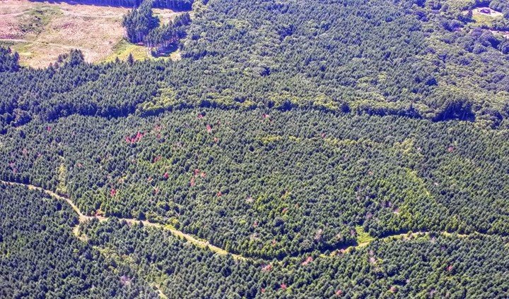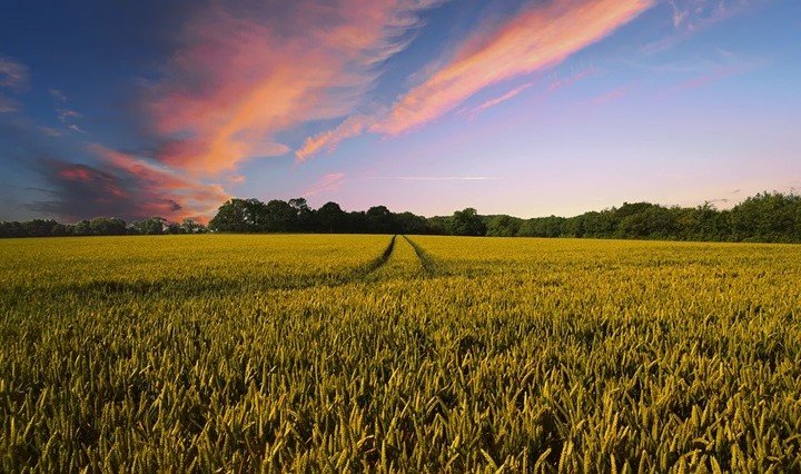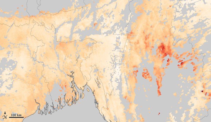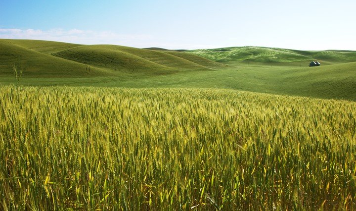
The application of remote sensing in agriculture
The acquisition of data and information is easier than before in agriculture. Remote sensing does the work perfectly through various devices and techniques. The process of remote sensing involves the…
0 Comments
January 12, 2020