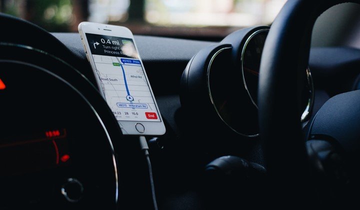
What is the difference between GPS and remote sensing
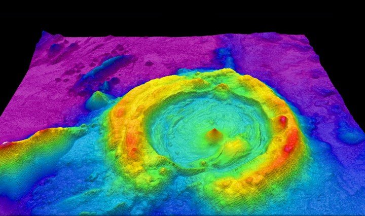
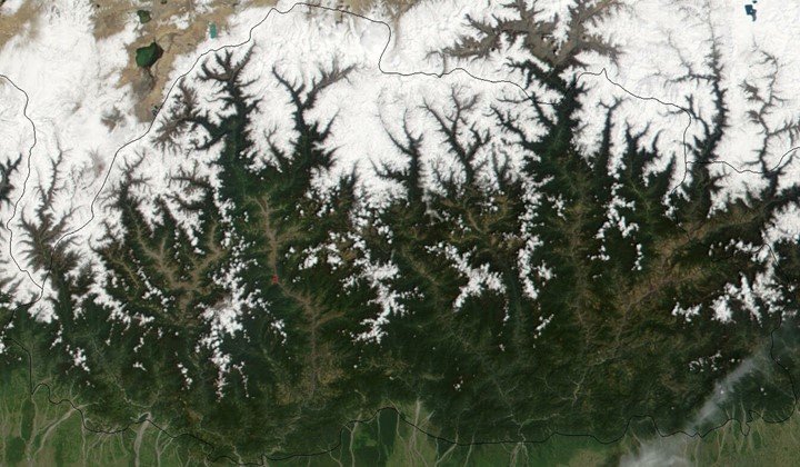
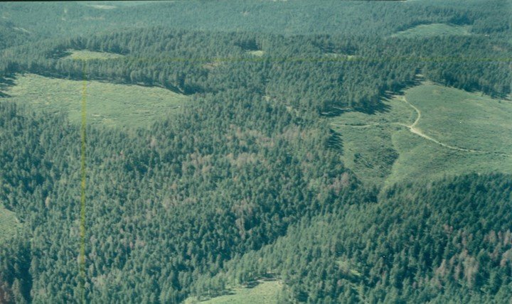
Remote sensing is basically a means of being able to obtain geographic information about a particular location without needing to be physically present in that location at the time of…
0 Comments
February 11, 2020